Creating a checklist for a field work campaign
Studies of natural environment often include collecting information directly from the source: in other words, doing field work. But what’s there to consider when planning for a field campaign?
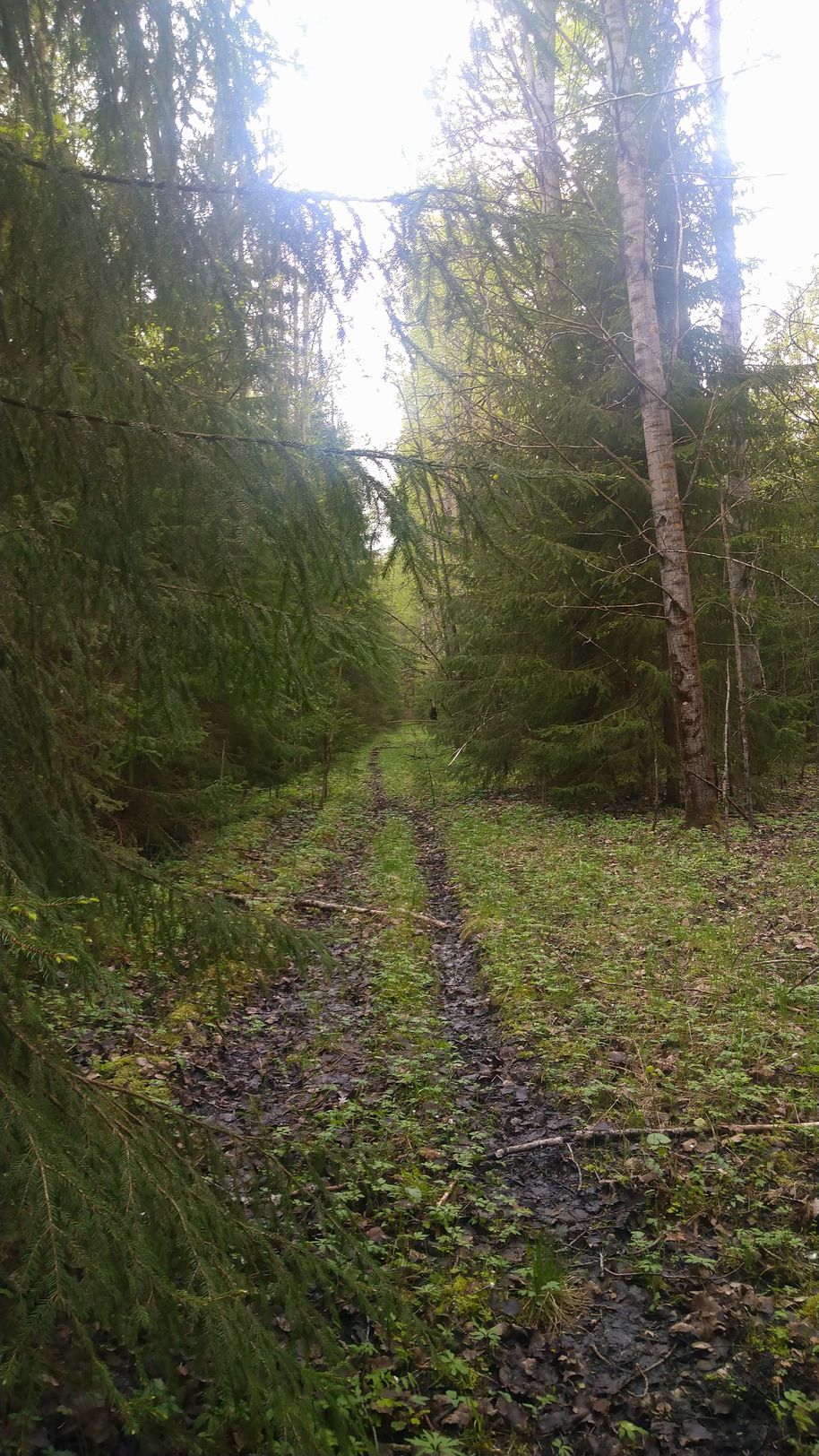
We’re walking to the car with all the samples arranged neatly in their own containers, each of which can be recognized from its label even if the label somehow becomes partially damaged. There was small regional rain and a slight chance of a thunderstorm near the study site where we’d intended to go today, so we ended up switching to another site instead. The forecast seems good for the first site tomorrow, so we’ll get it done this week either way. There had been a weird new glitch in one of the electronics in the morning, but luckily the tech support had just returned from a holiday to troubleshoot it with us through the phone. Now we’ll just have to hope we won’t accidentally attract an angry moose on our way back…
Life sciences is a field that seeks to learn about nature: how do living organisms function? How do ecosystems work? What are the links between them? There are different ways to gather data for these studies, one of which is to collect them directly from the study site. Arguably, this is the most exciting part of research in life sciences! But if we want to study, for example, an aspect of vegetation in a forest ecosystem, what kind of things should be planned for?
Based on the research questions you can determine what kind of information is needed and how it can be obtained from the source. After these things have been figured out, it’s time to draft the protocol of the measurements. Will they be conducted entirely on site or will the fieldwork consist of collecting samples for a laboratory analysis? Should some information about the study site be gathered on the spot either way, such as the exact location of the site or some details about the habitat? The answers to these questions will lead to a field work plan, after which it is time to test it in practice: Has the functionality and the use of the tools been tested before getting out in the field? Rehearsing the measurement both helps to draft out a detailed description of the measurement protocol and weed out unforeseen impracticalities. This all helps in repeating each measurement in the same way, and accurately and orderly, and thus making the results reproducible.
In the field there is often something unexpected happening. It stands to a reason to bring back-up batteries for all the equipment, pencils for note taking (ink will smudge) in bright orange (which will not vanish so easily when dropped on the ground), preferably more than one (in case the lost pencil can’t be found despite the bright color). If the locations are reached by car, it’s a good practice to never put anything on the car roof. While an expensive piece of equipment falling off the roof in the middle of the highway can halt the entire measurement campaign, a day can be slowed down just as easily if the thing that flies off to the roadside is the lunch or the last bottle of water.
Altogether, executing a well-thought-out field work plan is fun and rewarding and the surprise elements of the natural environment never fail to bring their unique flavor to it. What’s more, a carefully made field work plan is a most helpful tool for the next step: writing a description of the work for your research paper.
About the author: Sini Salko is a doctoral researcher in geoinformatics at Aalto University.
Show other posts from this blog

What is the value of earth observation data?
With socioeconomic impact assessment it is possible to specify and quantify the impact that earth observation data has on our society.
Why are field and laboratory measurements important in remote sensing?
Reliable interpretation of remote sensing data is highly dependent on reference measurements made in the field and in the lab.
A closer look at tree stems
Understanding the spectral behavior of bark might be surprisingly useful in remote sensing and other fields of research.